01 / WHERE THE MAP REACHES
KIRK SANDALL
TO THE TOWN CENTRE.
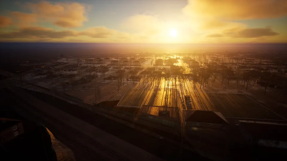
The playable area is a walled square about 6 km across in north-east Doncaster. It takes in parts of the DN1, DN2 and DN3 postcode districts: from Kirk Sandall and Edenthorpe, through Wheatley and Intake, to the town centre around Church Way, Market Place and the High Street.
Inside those walls, every real street is in the game, with its roundabouts, junctions and bridges. Beyond them, the rest of Doncaster isn't built yet. The map grows outward from here.
Measured in the development build · updated 20 October 2026
02 / IN THE WORLD TODAY
WALK IT.
IT’S ALREADY THERE.
Everything here is in the development build now. Most ordinary houses start as rubble or ruined shells on their real outlines. A few places are built in full detail, and you can go inside them.
THE RIVER AND THE RAILWAY
THE DON RUNS
WHERE IT REALLY RUNS.
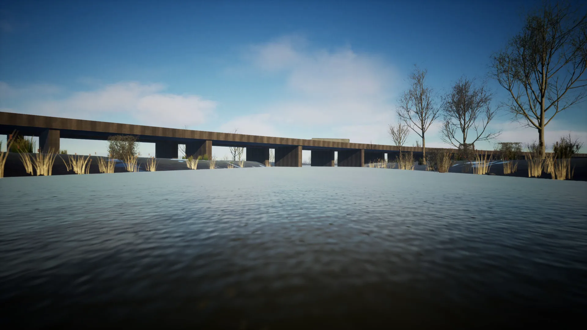
Playable Now in Development BuildThe River Don and the Don Navigation follow their real course past Kirk Sandall to Doncaster Town Lock, with banks and towpaths you can walk.
The railway leaves a cutting at Kirk Sandall and runs on the real lines for 6.5 km into Doncaster station, over bridges across the water and the roads.
DONCASTER STATION
LAST TRAIN
LEFT TEN YEARS AGO.
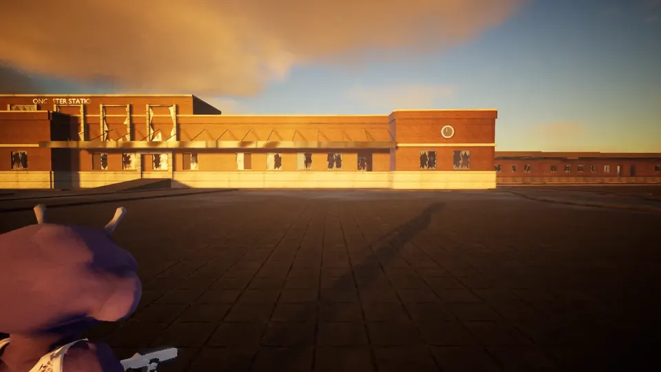
Playable Now in Development BuildBuilt on its real layout: platforms 0 to 8, the canopies, the covered footbridge and the 1938 red-brick building with its stopped clock. Walk in through the glass doors to the booking hall.
Three coaches from a high-speed train lie dumped on a siding. Back at Kirk Sandall, the rest of that train is stranded at the platform.
See the station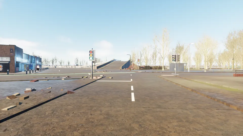
WHERE IT STARTED
KIRK SANDALL,
IN DETAIL.
Playable Now in Development BuildThe first neighbourhood was built by hand: the defended base, Headingley Close and its grounded jet, the shops on Brecks Lane, the pub on Doncaster Road, the bowls club, the retail parade, the station in its cutting and St Oswald's Church.
Many of them you can walk into, and most have supplies worth the risk.
03 / COMING TO THE WORLD
LANDMARKS NEXT.
THEN MORE TOWN.
The roads are in. Next come Doncaster's recognisable buildings and public spaces, placed on their real outlines. The world starts heavily damaged; the long-term ambition is for players to turn it back into a working town.
04 / HOW THE MAP IS MADE
REAL DATA FIRST.
THEN TEN HARD YEARS.
Roads, paths, car parks, the river and the railway are traced from OpenStreetMap. Building outlines come from OpenStreetMap and Ordnance Survey open data, which fills the gaps on the housing estates.
Tools then build kerbs, pavements, bridges and track from that data, age every surface by about ten years (rust, grime, moss, smashed glass, graffiti) and dress the streets with ruins and wreckage. The result streams in as you move.